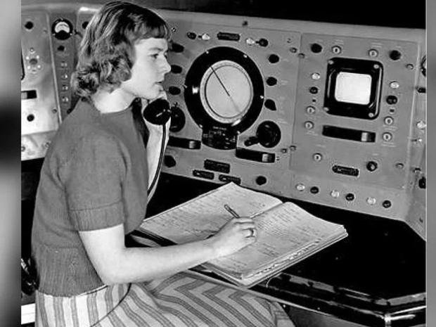
The United States Geological Survey's Landsat satellite program relies on her invention. Landsat satellites orbit the Earth every 99 minutes and have captured a complete image of the planet every 16 days since 1972. These images have provided powerful visual evidence of climate change, deforestation, and other shifts affecting the planet's well-being.
Norwood was a physicist, and the person primarily responsible for designing and championing the scanner that made the program possible. NASA has called her "the mother of Landsat."
At the dawn of the era of space exploration in the 1950s and '60s, she was working at Hughes Aircraft Company developing instruments. One of a small group of women in a male-dominated industry, she stood out more for her acumen, She was known as the person who could solve impossible problems.
"So people would bring things to her, even pieces of other projects."
Norwood oversaw the development of Landsat 2, 3, 4, and 5. Currently, Landsat 8 and 9 are orbiting the Earth, and NASA plans to launch Landsat 10 in 2030.
Each generation satellite has added more imaging capabilities but was always based on Norwood's original concept.

